The crocuses must be out there somewhere, but they won’t be showing their full flowers until next week, at least, as Maple Ridge and Pitt Meadows continue to huddle under prairie-like winter temperatures.
Daytime highs of between 1 C and 3 C are forecast for all of this week, with night-time lows dropping to as low as -6 C on Tuesday night.
There could even be a one-third chance of snow flurries Wednesday night.
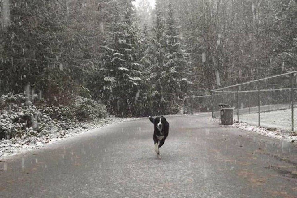
This week is a continuation of a miserable 2017-2018 winter that’s seen cold rain, sleet and snow lash the Metro Vancouver area.
According to the B.C. River Forecast Centre, the snow is piling up in B.C.’s mountains. As of Feb. 1, the Lower Fraser basin snowpack is 141 per cent above normal.
That doesn’t necessarily mean spring flooding, but the spring runoff is expected to be higher than normal.
The centre says there’s been “significant” snow pack accumulation over parts of B.C. over the past month. It will issue a flood-risk forecast on March 8.