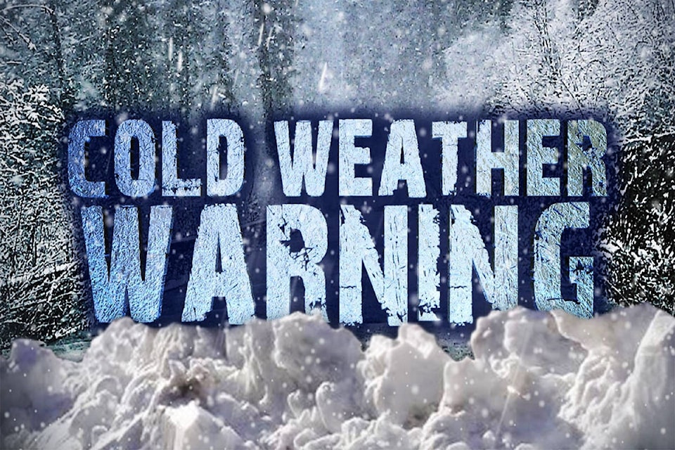
There are extreme freezing temperatures and snow in the forecast for Maple Ridge and Pitt Meadows for the week ahead.
Environment Canada has issued an alert for Metro Vancouver, saying: “Following a relatively mild first half of winter, a transition to much colder conditions continues throughout BC. Cold Arctic air over the BC interior will continue to flow towards the BC coast.”
The Environment Canada weather statement says it will be the coldest conditions of the winter for the remainder of the week. Temperatures over Interior regions will be 10 to 20 degrees below the seasonal average, while coastal areas will be 5 to 10 degrees below seasonal.
The forecast has a 30 per cent chance of flurries on Tuesday in Pitt Meadows. It calls for two centimeters of snow on Wednesday morning, with the high being zero, the low -8 C, and the wind chill making it feel colder in the evening – as cold as -20 C.
There is again snow in the forecast on Friday and Saturday.
The temperature will not rise above zero on Wednesday, Thursday and Friday, reaching 1 C on Saturday.
READ ALSO: Poll suggests Americans split over decision to impeach Trump as Senate trial begins
READ ALSO: SmartCentres looking to replace Maple Ridge Thrifty Foods
“Arctic outflow warnings are possible for the Fraser Valley, the Sea to Sky corridor and the Central Coast, beginning Wednesday night as wind chill values approach -20 C,” says Environment Canada.
Have a story tip? Email: ncorbett@mapleridgenews.com
Like us on Facebook and follow us on Twitter.