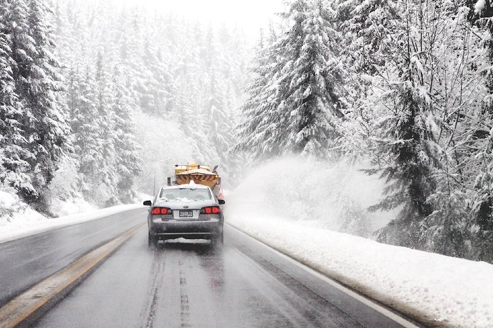
If you’re travelling over mountains passes today, you may want to prepare for snow.
There’s a special weather statement in effect for southerwestern Interior highway passes, including the Coquihalla Highway, from Hope to Merritt and Merritt to Kamloops. The Coquihalla Connector has also been included in the warning.
The reason, according to Environment Canada, is a Pacific low pressure system that will track across southern B.C. today and move into Alberta overnight.
“With snow levels sitting between 1,000 and 1,200 metres, the southwestern Interior highway passes will see periods of snow today with amounts in the 10 to 15 centimetre range. The snow will taper off tonight or Tuesday morning as the low moves out of the area,” reads the alert.
The situation will be more more wintry for those travelling the Trans-Canada Highway, from Eagle Pass to Rogers Pass, where there’s a snowfall warning.
As snow levels lower this evening, snow will start to accumulate rapidly over locations above about 1,200 metres. Rogers Pass and the Yoho Park to Kootenay Park region are forecast to receive 10 to 20 centimetres tonight. The snow will taper off Tuesday morning as the low moves out of the area.
Road conditions are available at www.drivebc.ca.
Please continue to monitor alerts and forecasts issued by Environment Canada. To report severe weather, send an email to BCstorm@canada.ca or tweet reports using #BCStorm.
To report a typo, email:
newstips@kelownacapnews.com.
@KelownaNewsKat
kmichaels@kelownacapnews.com
Like us on Facebook and follow us on Twitter.