The Fraser River is expected to peak in the next day below water levels seen in 2012, according to the City of Maple Ridge.
“Fraser River will remain at a high level over the next week and a second peak flow may occur next weekend, depending on weather conditions in the Fraser River system.”
The City of Maple Ridge’s Emergency Operations Centre remains at Level 1 and is monitoring conditions closely along the river.
The centre will be active and meeting daily until the river levels have receded.
The city has set up a webpage to provide updates and information regarding any action s undertaken as part of its Freshet Response Plan.
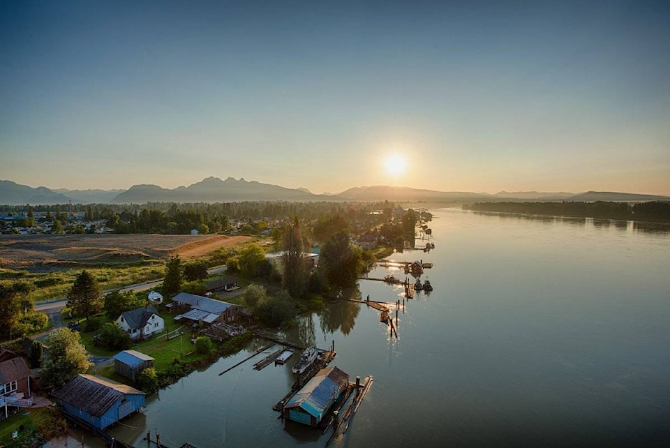
The Flood Advisory remains in effect for approximately 55 properties on Fraser River side of the Wharf Street dike in the Hammond neighbourhood.
Sand and sandbags remain available at west end of Wharf Street under the Golden Ears Bridge for the use by residents in the flood advisory area.
In addition, a sandbagging depot was established at Albion’s Bradley’s One Stop Landscape and Garden Supplies and is open to the public from 8 a.m. to 6 p.m. daily. The address is 23549 Lougheed Highway in Maple Ridge, and can be reached by phone at 604-836-9274.
On Friday, a road closure was put in place at 144 Avenue east of 224 Street due to water overtopping the road.
It will remain closed until water levels recede.
Warning signs were posted at Emily Mohun Park on Thursday. The park is located on the Fraser River side of Wharf Street in the Hammond neighbourhood.
“We are asking residents to respect the warning signs and stay clear of the river,” said the city.
On May 11, as a precaution, the boat ramp on the Haney Wharf was closed to the public until the conditions return to normal. The main area of the wharf remains open at this time.
The B.C. River Forecast Centre has also been posting flood warnings and advisories for communities throughout the province.
The River Forecast Centre is predicting that river levels could reach 6.7 metres on the Mission gauge by Monday, May 21.
In Pitt Meadows, city staff continue to conduct daily inspections of the dikes.
“No evacuation alerts are in place in Pitt Meadows at this time as we have an excellent diking system that was built to withstand rising water up to what was experienced in 1894, when the watermark at Mission reached 8.89 metres (29.17 feet).”
The city is monitoring water levels in areas outside the diking system.
Meanwhile, sand bagging and berm building proceeded at all three Katzie First Nation reserves, in Pitt Meadows, in Langley and on Barnston Island, the latter of which remains under evacuation alert.