B.C. River Forecast Centre has issued a high streamflow advisory for areas covering both, Pitt Meadows and Maple Ridge from Friday through Sunday.
According to the river centre, “A moderate atmospheric river event is expected to impact the region starting Friday, bringing an extended period of rainfall across south-west British Columbia. Environment and Climate Change Canada is forecasting 75-150 mm of total rainfall for most areas over the two-day period from Friday to Sunday.”
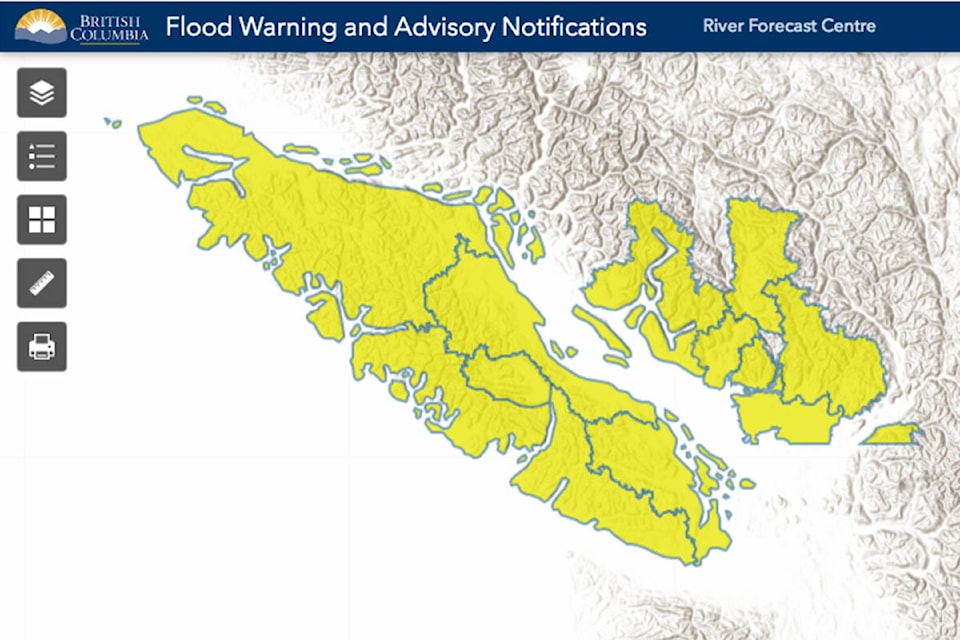
North Shore Mountains, Metro Vancouver, Fraser Valley- North and South, Howe Sound, Sunshine Coast and Vancouver Island are the regions affected by the advisory.
In some places, higher rainfall amounts are also possible with possible localized amounts in the 150-250 mm range.
READ MORE: Heavy rainfall warning issued for Maple Ridge and Pitt Meadows
The forecast centre is also attributing the upcoming river event to expected snow melt.
“Recent snow accumulation at elevation has occurred over the past few weeks, with 5-40 mm of snow water equivalent currently being observed at automated snow weather stations throughout the region. Most of the snow on the ground is expected to melt during this event and will contribute additional runoff to rivers,” says the advisory.
Rivers are expected to rise rapidly on Friday, with peak flows on Sunday.
A High Streamflow Advisory indicates that river levels will rise or are expected to rise quickly but no major flooding is expected except in low-lying areas where there is a possibility of minor flooding.
The public is advised to stay clear of the fast-flowing rivers and potentially unstable riverbanks during the high-streamflow period.
The River Forecast Centre will continue to monitor the conditions and will provide updates that could be monitored here: http://bcrfc.env.gov.bc.ca/warnings/index.htm
ALSO READ: Winter tires required on majority of B.C. highways until end of March
Have you taken a photo you’d like to contribute? Email: news@mapleridgenews.com
Like us on Facebook and follow us on Twitter.