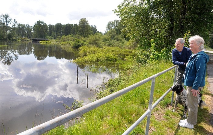
The Fraser River is still running high and fast, so the B.C. River Forecast Centre is keeping on its high streamflow advisory.
The centre issued the advisory on Monday for the Lower Mainland, as well as upstream to Hope and the Fraser Canyon.
While rainfall has eased and temperatures have cooled, easing the glut of snowmelt, the warm spell of weather followed by a few days of heavy rain early this week had forecast centre staff busy with their calculators.
Usually, local streams account for only 10 per cent of the Fraser’s level near Hope.
But because of the warmth and the rain, that contribution doubled.
“This led to some challenges with modelling the Fraser over the past couple of days, as weather and hydrometric data is limited from this region,” the centre said.
A high streamflow advisory means river levels are expected to rise rapidly, with minor flooding in low-lying areas possible.
But it’s what’s happening up north that has the centre maintaining its vigilance for the Lower Mainland.
The Fraser River near Prince George peaked almost at flood stage on Tuesday.
That water will start moving downstream, and could create peak flows of 11,000 metres per second at Hope, about 2,000 more than during mid week.
Fred Armstrong, with the District of Maple Ridge, said local streams such as Kanaka Creek are high, but as yet there’s no flood risk.
Municipal engineering and public works crews though are gearing up for the next few weeks, when the freshet – the massive snowmelt from the interior of B.C. – works its way down to the ocean.
Armstrong said there would have to be the “perfect storm” of warm temperatures and rain to produce a flood in the next few days.
“We’re not anticipating, at least in the short term, any issues for people.
“At this point, we’re guardedly optimistic.”
He expected the gauge at the Mission railway bridge to reach just under six metres on the weekend. Levels about that would spark daily patrols of dikes and flood area.
Armstrong said that, so far, only about 20 per cent of the snow pack in the Interior has melted and that an elevated risk of flooding remains as long as half of the snow pack does.
But the next few days are forecast to be cooler and dryer.
Last year, the flood threat on the Fraser River subsided in the first week of July, after all the snow melt made its way downstream after also hitting about six metres on the Mission gauge.
In 2007, water rose to 5.89, prompting many cities along the lower Fraser River to enact evacuation plans. But since then, dikes have been improved.
Kim Grout, director of operations at the City of Pitt Meadows, said daily dike patrols don’t start until the Mission gauge reaches 6.5 metres. Tuesday, the gauge only hit 5.56 metres.
“The water’s not on the dike yet,” she said.
Crews, though, are keeping an eye on the infrastructure.
“Just watching. Once we hit April, we start watching.”
