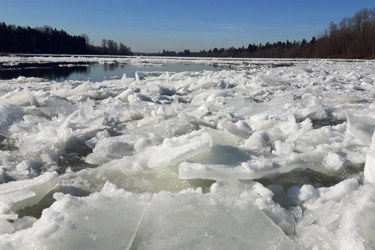
B.C.’s brief winter is going to hold on for a few more days with temperatures hovering around the 0 C mark until about Valentine’s Day.
Today’s high is forecast for 2 C with a low of -3 C Thursday night. Early on Thursday, temperatures at the Pitt Meadows Regional Airport dropped to -7 C.
A special weather statement also has been issued by Environment Canada Thursday morning calling for snow in Metro Vancouver tonight and continuing until Friday.
Most areas though will get only a few centimetres with more in the higher elevations.
On Friday, however, the snow will be replaced by “bitterly cold outflow winds,” that will affect the Fraser Valley, “These areas will experience bitterly cold wind chill values and reduced visibilities in blowing snow.”
Maple Ridge city has closed all its sports fields indefinitely because of the cold.