Being located on the shores of the longest river in the province can leave a city at risk of the waterway’s whims.
Maple Ridge’s proximity to the Fraser has been both a blessing and a curse over the course of its history.
It was the province’s earliest transit route, providing easy access to neighbouring communities, but it also carried immense risks to low-lying areas during flood season.
Over time, a series of dikes and monitoring tools were put in place to mitigate the risks, but to this day, some of the community’s brightest engineers still need to come up with ways to stay ready when the snowpack from the surrounding mountains starts melting.
This year, the City of Maple Ridge and JamesClelland, assistant chief of the fire prevention and emergency program coordinator has revamped the community’s flood response plan.
“We took the old plan from the city, worked through it and made adjustments where we thought they were necessary,” said Clelland.
“We’ve cleaned it up and adjusted it based on new information we have.”
READ MORE: Record-breaking snowpack has Pitt Meadows on alert
Clelland said he has been in meetings with staff from the city’s engineering operations centre to set up plans of action should the water reach trigger levels in the near future.
“Once those trigger levels have been reached, there are a series of steps we take that include daily dike level inspections, water monitoring, and cleaning out culverts to make sure the water can flow unimpeded if it needs to,” Clelland said.
Part of the job has been identifying some problem areas.
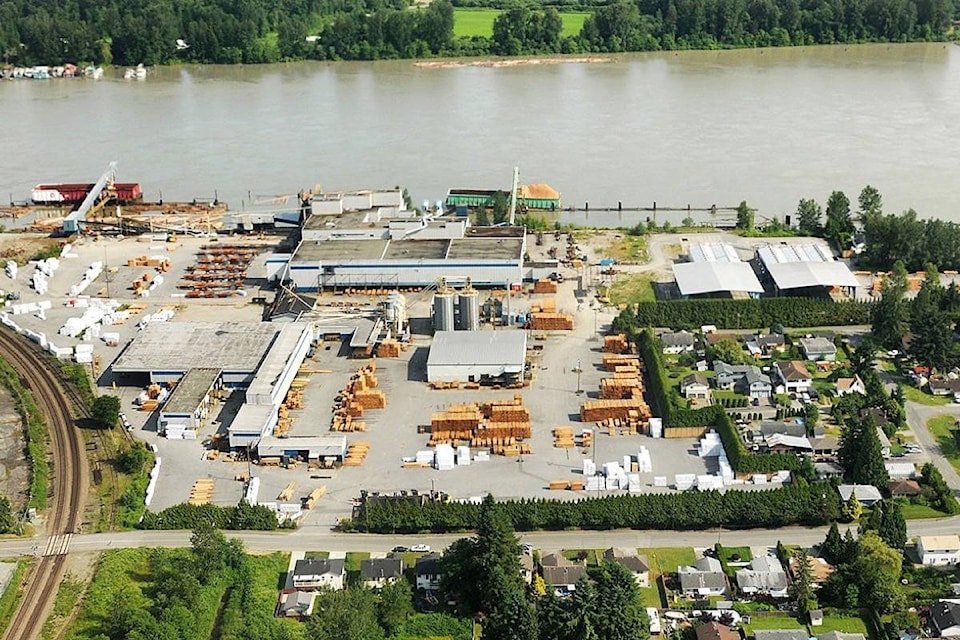
For instance, they are looking at Wharf Street in Hammond as one area that needs attention.
They’ve contacted owners of the former mill site, he said.
“We had a plan in 2018 to build up some of the area, and we made contact again about mitigation and what they can do to raise some of that area again.”
The emergency coordinator also pointed to Albion Industrial Park as an area which has been problematic in the past.
“The protection for the area is quite robust now though,” Clelland said, “The province updated some of the dikes in that area, so while it’s still a concern, it’s not a major concern right now.”
He also mentioned the engineering ops department is working on the area around Kanaka Creek to ensure it’s protected as best as possible.
“In general, we are at the mercy of the river when it come to all this,” he said, but noted there is lots that residents can do to ensure they are as ready as possible.
For information on flood preparation in Maple Ridge, residents can view the city’s website www.mapleridge.ca/1201/Flooding
ronan.p.odoherty@blackpress.ca
Like us on Facebook and follow us on Twitter