For two days in a row temperatures in Pitt Meadows and Maple Ridge have been reaching record lows.
On Monday Dec. 27, Environment Canada recorded a low of -14 C. The previous record for the lowest temperature was previously set in 1996 at -9.7 C.
And the following day, on Dec. 28, Environment Canada also recorded a low of -14 C, almost two degrees lower than the record set on the same day in 1996 of -12.1 C.
Temperatures that were attributed to an arctic outflow weather event that hit the region.
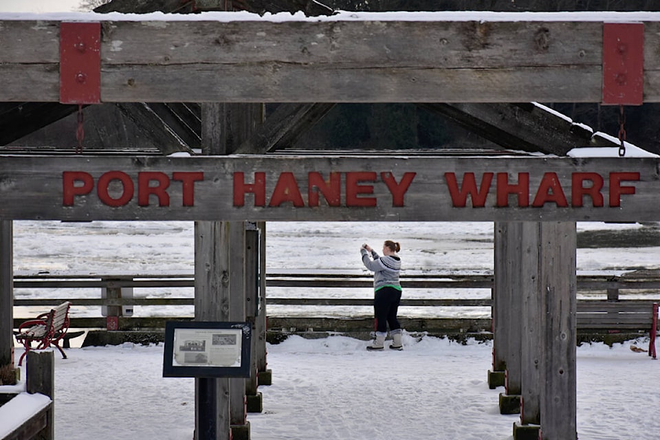
The weather has been so cold that ice sheets that were seen flowing down the Fraser River before Wednesday, have now become one solid mass.
Although the arctic outflow warning has since been cancelled by Environment Canada, there is now a snowfall warning in effect.
Heavy snow is expected this evening and into Thursday morning with the government agency calling for between five to 10 centimetres.
READ MORE: Arctic outflow finally eases for Metro Vancouver and Fraser Valley
ALSO: Bitter cold in forecast Wednesday with snow by evening across Fraser Valley, Metro Vancouver
Most regions will see close to five cm accumulate rapidly within three to six hours during the overnight hours when the snowfall is expected to be most intense.
Environment Canada is warning drivers that visibility may be impacted with the heavy, quick accumulating snow, and travel may be difficult.
Temperatures overnight are expected to be close to -5 C, -11 C with the wind chill, with winds reaching up to 15 km/h.
On Thursday, Dec. 30, snow is supposed to clear late in the afternoon, with winds up to 15 km/h and a high of -3 C, -11 in the morning with the wind chill and -5 C by the afternoon.
Have a story tip? Email: cflanagan@mapleridgenews.com
Like us on Facebook and follow us on Twitter.