In about a year from now, a big part of the grand plan for the heart of Maple Ridge should be in place.
Once the City of Maple Ridge completes its Lougheed Corridor Land Use Study and Metro Vancouver does the same for the entire Lougheed corridor from Coquitlam to Maple Ridge, the future of the big road that serves as the main artery for Maple Ridge should become clear.
Council, in September 2018, approved the start of the Lougheed Corridor Land Use Study to prepare for the arrival of B-Line buses in Maple Ridge and Pitt Meadows.
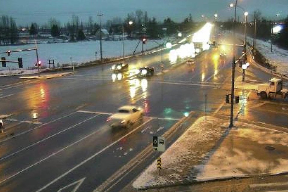
In about a year from now, the B-Line bus service will zoom customers from Haney Place Mall in downtown Maple Ridge to SkyTrain in Coquitlam Central station in about 40 minutes, at 10-minute frequencies, during rush hour.
The Lougheed Corridor Land Use Study will look at land uses along Lougheed, from 222nd Street to Maple Ridge’s western border, and include properties on the south side of the highway, as well as the north side of Dewdney Trunk Road and in between both roads.
The goal is to ensure that jobs, services, and housing are integrated with the future B-Line bus service, the city said when announcing the study.
It’s called a land-use study because the overall goal is decide how to use the land between Lougheed and Dewdney Trunk Road. The goal is to find a balance that will allow as much population density as possible along the route in order to support transit and businesses – while at the same time protecting Maple Ridge’s downtown, said Maple Ridge’s planning director Christine Carter.
Workshops, open houses and a community-wide survey will also help get the public’s ideas for the area. The study’s expected to have its recommendations ready by next summer.
“We’re going to have a chance to really look at it. What land-use makes the best sense – if you’ve got some of the B-Line stops out front,” Carter said.
Carter pointed out the study won’t change particular zones in the area but instead only will decide land use. If the land use or land designation in the official community plan is changed, people then later could apply to have zoning changed.
The B-Line buses will stop at Haney Place, Laity Street, 203rd Street, and Harris Road, in Pitt Meadows, with future stops possible at 222nd Street and Meadowtown mall, in Pitt Meadows proposed, but not available by opening in late 2019.
While the city does its study, it will also take part in Metro Vancouver’s Lougheed Corridor Land Use and Monitoring Study that also involves Pitt Meadows, Port Coquitlam and Coquitlam. That will also form part of the city’s own review.
“The issue has always been, how much density do we allow along that corridor – because we don’t want to detract from the success of the downtown,” Carter said.
“We want to continue to support the town centre. I just think it’s [downtown] on a real, positive course.”
An economist will help sketch out the effects of planning changes on the town centre, just to make sure that’s not accidently affected.
“There are some really nice developments coming to the town centre and we want to support them and we don’t want to make and changes along Lougheed that would detract from the success of the downtown.”
What planning staff don’t want to encourage is for businesses to locate outside the downtown and weaken a growing town centre.
Planning also must ensure there are places for B-Line buses to pull into, to spare backing up the highway. Those spaces are currently in TransLink’s design process.
“We envision it will all come together.”
Carter said that the land-use study will also create a foundation for a later and larger Lougheed area plan, which will set out in detail how the Lougheed Highway corridor will develop.
The land-use study should also ensure that there’s enough right of way for transit. Several years ago, the city also identified Lougheed Highway as the route for a future SkyTrain connection to the downtown.
Former mayor Nicole Read wanted the extension of SkyTrain into Maple Ridge to be adopted into TransLink’s long-term plans.
Former Pitt Meadows mayor John Becker said the intent is to ensure enough land is set aside along the Lougheed corridor for rapid transit at some point in the future. The review of Pitt Meadows’s official community plan now underway will also consider the transportation studies.
The city has put a hold on any development applications on that stretch of Lougheed until the study is complete.