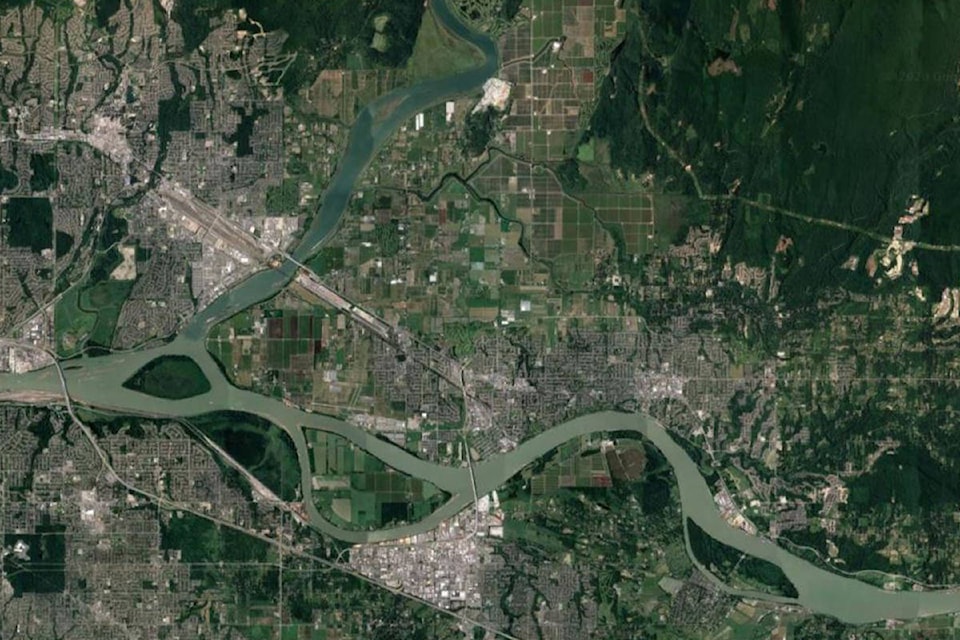
While a record breaking snow pack had Pitt Meadows on alert last month, recent weather has kept the Fraser River at stable levels.
City of Pitt Meadows emergency program co-ordinator Barbara Morgan said she checked the Mission Gauge on Friday morning and it was well within tolerable parameters.
“It was at 5.39 metres,” she said, referring to the Fraser River’s depth upstream from the city.
“We use that as a reference point, as we know we’re got a couple days before the water level hits Pitt Meadows from Mission. If we see it’s at a certain level there, we can tell what it’s going to be like in Pitt Meadows.”
The City also used gauges on the Allouette River, the Pitt River, and the Baynes gauge on the Fraser as well, to ensure all bases are covered.
READ MORE: Record-breaking snowpack has Pitt Meadows on alert
Right now the water is stable, Morgan said.
“It’s below six [metres], and we don’t normally activate [our emergency operations centre] until it hits that mark.”
Morgan noted the weather pattern for the upcoming week is much the same as this week, so she is just doing her diligence and keeping an eye on what’s happening further upstream.
“We’re watching the head waters of the Fraser, and we’re watching what’s happening with the other river ways such as the Nechako, and the Thompson.
“All of that collectively comes together and builds the picture, and then you add on the weather piece of that.”
Most residents know our dikes for recreation but the main purpose is flood protection. In the spring during the snow melt, water levels can rise, but the diking system is in place to keep Pitt Meadows from flooding. Find out the latest info https://t.co/9gWzFb7gZw pic.twitter.com/EQTurjrXWp
— citypittmeadows (@citypittmeadows) May 18, 2018
Although precipitation can be hard to forecast very accurately weeks in advance, Morgan said the river levels should be able to handle a bit of rain.
“The risk is still there because any major storm could change the picture drastically, but for the next week or two it’s about managing the risk.”
Thanks to a grant from the province in March of 2019, the city will be extra prepared to move people should a bad flood occur.
READ MORE: Pitt Meadows planning evacuation route
“Last year we went through quite an extensive study for evacuation route planning,” Morgan said.
“We’ve taken an in depth look at our population, and our roadways – which includes everything from looking at stoplights and how long they take to change to train traffic –so we’ve got a pretty good idea how long it would take, as well as what we need to do in order to evacuate certain neighbourhoods.”
For more information on Pitt Meadows emergency preparedness, please see the city’s website.
ronan.p.odoherty@blackpress.ca
Like us on Facebook and follow us on Twitter