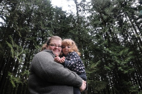
Heather Boyd wonders if the red blob on a surveyor’s map actually depicts the full extent of a new 79-hectare gravel pit north of her Blue Mountain home.
She wonders about the exact route an access road will take to the proposed Blue Mountain Quarry at the north end of 256th Street.
According to a map that’s part of an application to the Ministry of Forests, Lands and Natural Resource Operations, the road will run northwest from Dewdney Trunk Road and 272nd Street, north of Whonnock Lake, then connect with the gravel pit at the north end of 256th Street.
But the road doesn’t pass through Kanaka Creek Regional Park, according to the ministry.
And the access road is a proposal only at this point, a ministry spokesman said.
However, logging will be needed to clear the quarry site for road construction.
For Boyd, though: “I don’t know where the road is going to go. I don’t know – is it going to cross at the place we take our daughter to see all the woodpeckers? I don’t know. Who knows?
“It’s not clear to me what’s included in this proposal and what’s not.”
Her husband, John-Paul Boyd, adds that the road will cut through habitat for bears, cougars, bobcats and deer and a number of fish-bearing streams.
Heather Boyd also wonders if other residents in her area, around Sayers Crescent and McNutt Road, know what’s been proposed.
The Dec. 6 advertisement that depicted the proposal by Katzie First Nation and Canadian Aggregates as part of the public comment process was difficult to read, she pointed out.
The maps didn’t show any street names, so it’s difficult to pinpoint the actual location of the operation.
“I have no idea what it really means because I’m not a surveyor. But I know where my property is and there’s something over top of it and I get a little concerned,” Boyd said.
She asked the Ministry of Forests, Lands and Natural Resource Operations for more detailed maps that show the street locations, but is concerned she won’t get those until after the Dec. 31 deadline for comments.
Trying to find the answers has been a learning experience for Boyd, who’s lived there for five years.
Her daughter goes to pre-school at Webster’s Corners elementary. Her subdivision has no sidewalks, just road shoulders used by pedestrians and cyclists.
She’s already had a rock from a dump truck damage her windshield. “I don’t know how much it’s going to add to the traffic,” she said of the proposed road.
“It’s a beautiful area. There are trails all up through here are used by a lot of people.”
The project also concerns the Webster’s Corners Community Association, which discussed the quarry at its recent annual meeting.
Vice-president Mary Robson pointed out the District of Maple Ridge has a 300,000-cubic metre annual limit of gravel that can be hauled from the area down 256th Street because of the road conditions.
If the gravel pit is approved, the district will have to cut back the hauling from other operations, she said.
“We’re going to be very concerned about it and we will take the necessary action to prevent this from happening.”
An open house will take place after consultations with the District of Maple Ridge, B.C. Hydro, Fisheries and Oceans Canada, Ministry of Energy and Mines, the Chilliwack Forest District and First Nations.
A formal environmental review isn’t necessary because the annual extraction threshold of 250,000 cubic metres of gravel a year hasn’t been exceeded, said the ministry.