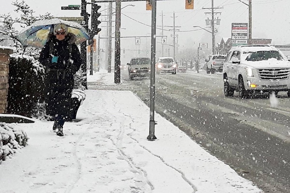
If you haven’t washed your car yet, that was probably a good thing.
Because Wednesday afternoon the white stuff came back to Maple Ridge, for yet another blast of winter slush.
Snow started just before 2 p.m. and could pile up to as many as five centimetres over Metro Vancouver, said Environment Canada.
Environment Canada made an initial forecast of mixed rain and snow, then upgraded that to a snowfall warning at mid-afternoon Wednesday.
“Local snowfall amounts near five centimetres can be expected by this evening over eastern Metro Vancouver, as well as western and central Fraser Valley. Snow is expected to taper off later this evening,” said Environment Canada.
On Thursday, the white stuff is likely to return because there’s a forecast of 70 per cent chance of rain showers or wet flurries in the daytime, with only a 30 per cent chance in the evening and a low of -1 C.
On Friday, there could be more of the same, with a 30-per-cent chance of rain or snow and a low of -1 C.
TransLink said Wednesday afternoon that there no impacts of note on its transit services, including bus, SkyTrain, HandyDART, SeaBus and West Coast Express.
TransLink advises that if there is snow or ice, remember to dress for the elements, wear proper footwear and expect occasional service disruptions throughout the day.
People can check the Trip Planner or m.translink.ca for a mobile device, or sign up for transit alerts to be the first to know if there are changes to the transit schedule. TransLink is also on Twitter (@translink), Facebook (TransLink) and save 604-953-3333 on mobile devices.