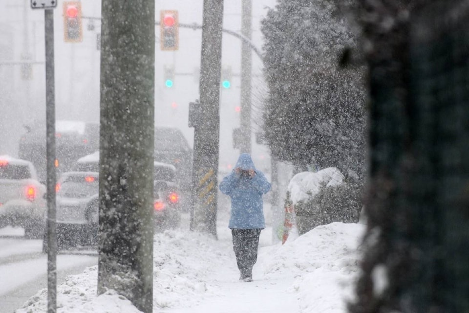
Up to 20 cm of snow is expected to hit the region on Tuesday causing Environment Canada to issue a special weather statement.
The environment agency is calling for between five and 20 cm of heavy wet snow over the next 36 hours across the Fraser Valley, including Maple Ridge and Pitt Meadows.
Snow is expected to begin sometime in the morning on Tuesday and continue to accumulate throughout the day and into the afternoon commute.
RELATED: Emergency shelter beds open with snow in Maple Ridge
The system is projected to last into Wednesday morning before turning to rain as a new system moves. in.
A posting on the City of Maple Ridge website says city staff will deploy resources as required to address the forecast.
“Citizens are reminded to slow down and drive with caution in snow and icy conditions and ensure that all snow is cleared off vehicles before heading out on to the roads,” read the statement.
READ MORE: ‘Significant’ snow expected to pummel Lower Mainland
City crews will work to keep priority routes open during the snowfall and will move to secondary routes when those routes are clear.
The city is also reminding people to clear their sidewalks in front of their homes and businesses and also to take a moment to help out neighbours who may need assistance.
With rain being forecast from Wednesday through to Friday, the city is also reminding people that although the risk of new flooding is minimal, local creeks and streams are flowing at a high rate.
“You should continue to avoid being in close proximity to watercourses at this time,” read the posting.
With B.C. Hydro maintaining a controlled release from the Alouette Reservoir into both the Stave Lake and South Alouette systems, new rainfall may result in the reservoir reaching the ‘free crest’ as it did over the weekend.
However, the statement continued, that although the water in the South Alouette will be at a high level and flow rate, no flooding is anticipated when combined with the forecast rainfall.
cflanagan@mapleridgenews.com
Like us on Facebook and follow us on Twitter