The road crews took Tuesday off so they could be ready for Wednesday's expected wallop of snow, sleet and freezing rain.
Environment Canada has issued a winter storm warning for this afternoon, Wednesday, with heavy snow, between five and 15 centimetres, followed by freezing rain.
Warmer temperatures are expected to follow Thursday.
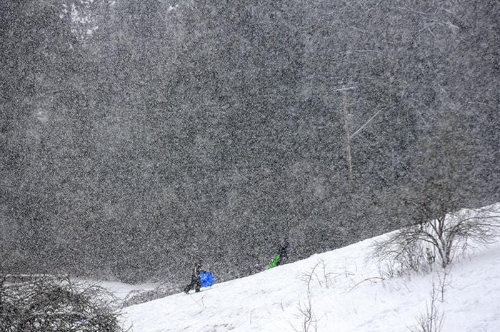
The fear now is moving towards flooding as all the snow starts to melt. Over the weekend, about 20 cm hit and Maple Ridge and Pitt Meadows.
"So we're worried about that," said James Storey, Maple Ridge’s director of engineering operations.
City road crews, totalling 13, have been on the go since Friday, trying to deal with almost daily snowfalls.
"We've had a full crew out, non-stop."
Storey said crews were out all weekend, spreading salt and brine on to the roads. Over that time, the cost of the salt that was spread worked out to $14,000, with another $6,000 for sand.
Then there's the cost of overtime on top of that.
"It goes quickly."
By Tuesday, all the major routes were cleared, which allowed crews to catch up on some rest in preparation for today's storm.
With February still snowy, it makes it the third month of abnormally cold winter weather, a departure from the usual wet and warm West Coast winter.
"This is really way out of the ordinary."
He added that with this evening's storm expected, "the message to everybody is if you don't have to drive, don't drive.
"If you do have to drive, be careful and slow down."
Mainroad Lower Mainland Contracting, which maintains the Lougheed Highway, also issued a "weather event advisory" at noon on Wednesday, saying a "weather event" is expected to hit Metro Vancouver in the next 24 hours.
Crews will be spraying de-icing materials on the road until the storm is over.
The Ministry of Transportation and Infrastructure also announced that crews "are gearing up for more snow forecast to hit the Lower Mainland this afternoon, followed by freezing rain."
Crews have been on the roads clearing catch basins and pushing back snow banks and spraying brine on to roads.
The Alex Fraser and Port Mann bridges have also been treated so snow doesn't accumulate and fall on to vehicles below.
A helicopter is also on standby to blast the snow off the cables of the Port Mann Bridge with the wind from its rotors. That would require closing the bridge for a couple hours.
People are also asked to increase the following distance of their vehicles.
Temperatures of 8 C are forecast for Saturday and 10 C on Monday.
Public schools in Maple Ridge and Pitt Meadows, after being closed the past two days, are open Wednesday. Regarding Thursday, decisions are made by 6 a.m. each day.
With heavy snowfall forecast to begin this afternoon into the evening, followed by freezing rain, TransLink is preparing for hazardous conditions that may impact transit services. "Staff are working hard, and additional staff and resources are being deployed to ensure the transit system keeps people moving," said TransLink.