Editor, The News:
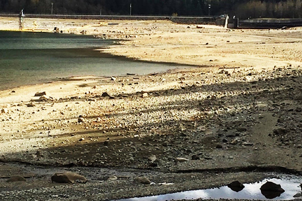
Re: Along the Fraser: Concerns kokanee smolts left high, dry.
From the 1996 B.C. Hydro water use plan onward until the proposed development on the 240th Street crossing area of the Alouette River, there appeared to be some City of Maple Ridge understanding of the flood risks, and B.C. Hydro’s limitations in flood controls within the Alouette/Stave lakes hydrology management complex.
In 1996, ARMS, the city, Katzie First Nation, B.C. Parks, Department of Fisheries and Oceans, Ministry of Environment, Alouette riparian owners (22 representatives in all) came together in 15 meetings to see if a public water use plan could be reached with BCH.
In these meetings, we questioned B.C. Hydro senior staff as to why a B.C. Crown Corporation would not step forward on the Alouette and manage water levels behind the dam in a manner that addressed flood and fisheries responsibilities in a better manner.
B.C. Hydro’s answer was simple, clear and straight forward. It said that altering the Alouette reservoir management to reflect single interests, such as flooding or fisheries, would come at a cost to all electrical ratepayers throughout B.C.
Hydro was willing to compromise if we were. So computer modelling was run on the Alouette reservoir at different water elevations during the flood-prone months of the year.
Then historical storm events were applied to the model to find the likelihood of a flood event in the river.
After a number of models were run, we came to an agreement on winter and summer reservoir management levels.
Were they perfect? No.
But a compromise had been reached and great improvements made from the historical one- to 12-year average river flood event.
So what did we agree to?
In 1996, the Maple Ridge engineering department agreed that building out further on the floodplain was not without risk and said it had been well informed of Hydro’s limitations in preventing floods in the river below the dam.
Then-mayor Carl Durksen, along with then councillor Jon Harris and manager operations Tom Gardner and his staff were all party to this understanding of Hydro’s limitations in flood-proofing the Alouette River.
We have had many recorded floods on both North and South Alouette Rivers. The North Alouette is subject to the whims of nature, but the South Alouette is a whole different kettle of fish.
Once the B.C. Electric Railway Company built the dam on the Alouette River in 1926 and drilled and blasted a tunnel through Mt. Crickmer to divert Alouette Lake water and all the mountain run-off into the Stave watershed, flood occurrence below the dam into the Alouette River has been reduced in terms of their frequency.
So people started building on the river’s floodplain below the dam. What was wrong with this picture was that the B.C. Water Licence issued to the power company in 1909 had not included any legal requirement for this dam to be used as a flood control device.
The licence was issued solely for the generation of electricity in the Alouette Generating Station at the outfall of the tunnel into Stave Reservoir.
Let me assure those who would question this. I came into the employment of B.C. Hydro in 1966 as a power engineer and had access to these records. When I became a director with ARMS in 1993, and later president in 1995, I made a file and poured over many government records concerning Alouette’s fishery and flood issues to gain an understanding here.
Geoff Clayton, past president
Alouette River Management Society
Qualicum Beach