Cyclists in Vancouver are celebrating the cycling and pedestrian improvements along the Stanley Park Causeway.
It took the death of a cyclist in 2013 to make it happen.
Thanks to a $7 million investment by the province, people can now safely walk and bike on a widened and fenced path along the causeway and across the Lion’s Gate Bridge without fear of ending up under the wheels of a bus.
That’s one important gap fixed in the cycling network in Metro Vancouver. There are many other items on the list.
HUB has mapped the gaps that make it difficult for people to use their bikes for longer distance trips along more direct routes, which will often be along main arterials, where cyclists can have the same advantage as drivers and enjoy fewer stops.
If you Google “UnGaptheMap,” you can find the map on HUB’s website.
In Maple Ridge, the main gaps are along east-west routes: Lougheed Highway, the Haney Bypass, Dewdney Trunk Road and Abernethy/128th Avenue.
Dewdney is unlikely to be improved with protected bike lanes.
A separated multi-use path is under construction on 128th Ave. between 210th and 216th streets. Hopefully next year the section between 216th and 224th streets will be constructed, so that pedestrians and people on bikes will be able to use this off-road path all the way from 232nd to 210th streets.
An off-road multi-use path is planned along Lougheed Hwy., from Meadowtown mall to 222nd Street. I’m not sure if I’ll see it completed in my lifetime, but eventually it will be.
Arguably the most dangerous cyclist crossing in Metro Vancouver happens to be at Meadowtown mall on Lougheed Hwy., where strong and fearless cyclists going eastbound have to cross two exit lanes of fast and often busy car and truck traffic heading to the Golden Ears Bridge or to the mall.
To drivers, the bike lane crossing the two car lanes is not even recognizable as such.
Perhaps our repeated requests to the Ministry of Transportation and Infrastructure, to put a quick and cheap Band-Aid on this problem by repainting the most critical bike symbol and diamonds on the bike crossing, after the section was repaved about two years ago, haven’t been considered urgent enough because not too many cyclists, dare to cross here.
One of HUB’s purposes as a cycling advocacy group is to offer solutions to challenging sections of routes such as this one. We feel that a simple, cheap, effective solution would make this particular crossing a bit safer would be to paint the bike crossing green.
Even more effective, but more expensive, would be LED lighting along the crossing with motion detection, which would cause the lights to start flashing whenever a cyclist approaches the crossing.
A fix would be much appreciated by cyclists and their families.
At our January meeting, we enjoyed a presentation about Bikemaps.org, a global on-line mapping tool that allows cyclists to map accidents, hazards and near-misses, and also bike thefts.
Municipalities usually get their accident statistics from ICBC.
Accident data involving cyclists is not as detailed and accurate as those for motorized vehicles. This new tool provides municipalities and researchers with added, valuable information.
Our local HUB committee is getting ready for Earth Day 2016, which will be on April 23. This year’s theme is ‘energy’. It looks like we may be able to get some e-bikes (electric bikes) to the event again for people to try out, and of course our annual Cycle Recycle will be back with another draw for free used, cleaned and tuned-up bikes of all sizes.
We’ve already collected enough kids’ bikes, but we’re still looking for some adult ones.
If you have a used bike (or two) to donate, please e-mail HUB at mapleridge-pittmeadows@bikehub.ca.
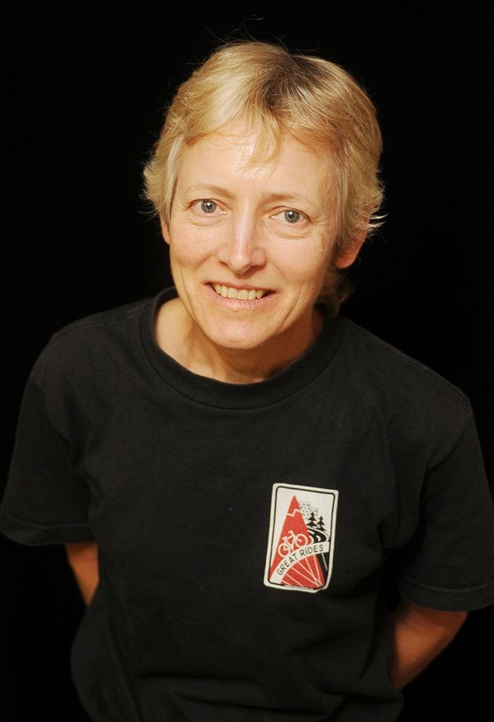
– Jackie Chow is a member of the Maple Ridge-Pitt Meadows chapter of HUB: Your Cycling.