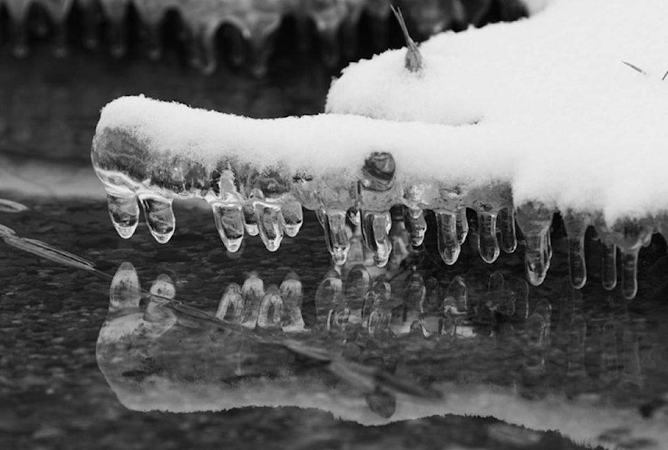
The Lower Mainland has mostly missed the frigid depths of winter so far, but Environment Canada says that is all about to change.
The national forecaster is calling for freezing conditions starting as early as Friday, as an Arctic cold front moves in from the Interior.
“The Arctic air is going to be here for most of the next week,” meteorologist Matt MacDonald told Black Press Media Wednesday.
Temperatures are anticipated to reach daytime highs around the freezing mark in Vancouver, and as low as -5 C in the Fraser Valley.
With the chill comes the potential for snow, but MacDonald said that depends on how a second system develops as it enters the region on Sunday.
“Most uncertain is how incoming moisture is going to interact with that Arctic air,” he explained. “It may only be a few flurries, or it could be more widespread snow, but it’s really too soon to tell.”
At higher elevations, Whistler is forecast to receive 15 centimetres Friday, followed by another five to 10 centimetres on Sunday.
@ashwadhwani
ashley.wadhwani@bpdigital.ca
Like us on Facebook and follow us on Twitter.
