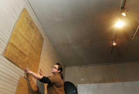
Pointing at a map of Pitt Meadows from 1914, researcher Sandra Borger traces its zigzagging border on a table in the city’s museum.
Beginning at the Fraser River, the boundary line mimics stairs, climbing past 203rd Street in a confusing pattern.
As it stretches into the polder, small slivers of the city are often mistaken as a part of Maple Ridge.
“It goes up like a staircase. I have no idea why it does that,” says Pitt Meadows director of operations, Kim Grout, who manages the city’s planning department.
The city’s first homicide of the year was called in from one of these weird jutting rectangles. Had the body been dumped a few metres east, the crime would belong to neighbouring Maple Ridge.
At one time, the two communities were part of the same municipality – the Township of Maple Ridge.
In March 2, 1896, patent letters were issued, reducing the area of Maple Ridge substantially, by removing land westward from Port Hammond and including Pitt Meadows.
Leslie Norman, curator of Pitt Meadows Museum, says it was no secret at the time that the petition for removal had come from Pitt Meadows landowners, many of whom were “lowlanders” and not satisfied with the Maple Ridge’s handling of diking and drainage issues.
Eventually, Pitt Meadows split and was incorporated in April 23, 1914.
What is not so well known, and is almost lost to history, is the fact that a sliver of land between the two municipalities (lots 280, 281, 267, 285, 429 and the southwest corner of Section 25) remained unincorporated, and under the authority of the provincial government.
Norman says much to the chagrin of the unincorporated landowners, Pitt Meadows petitioned to include the sliver in its municipality.
In response, the owners sought a return to Maple Ridge.
“It was the land owners that caused the jiggly pattern of the border,” says Norman.
Norman explains that after a year of arguing, a hearing was held at Dale Hall in Port Hammond on Dec. 13, 1915, when all parties involved, municipalities and landowners, argued their respective cases.
The landowners in question, among them the Laity and Hampton families, preferred their unincorporated status. But if forced to choose, they picked Maple Ridge due to worries over the tax burden if incorporated into Pitt Meadows.
Henry J. Newton, a farmer with 13 hectares (34 acres) in the no-man’s-land, believed the newly incorporated municipality would be unable to serve him.
“I want to go into Maple Ridge because I would be stuck away down here in the southeast corner,” he told the commission, his testimony detailed in proceedings which are archived at the museum.
“I would have to travel that Maple Ridge road and if there was any complaint about the road - and if I went to Pitt Meadows, I’m afraid I would not get very much out of them.”
The residents of Pitt Meadows, meanwhile, blamed their larger neighbour for a host of problems, including drainage.
William McMyn believed Maple Ridge should not get any more land. He also accused Maple Ridge farmers of pumping water from their fields into McKinney Creek, which in turn flooded Pitt Meadows’ lowlands.
“Maple Ridge was a municipality before Pitt Meadows was formed at all and they had the privilege of taking what they liked and leaving what the liked,” he told the commission.
“They took their lands and I don’t see what right they have got to have any other.”