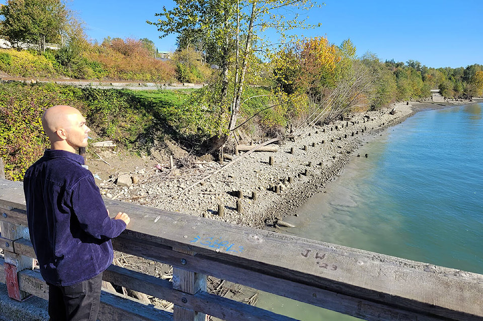
There is a lot of excitement about a riverfront greenway in Maple Ridge.
The City of Maple Ridge asked for public input about its proposed multi-use pathway and park at the Port Haney waterfront, and received more than 500 responses. The city noted there were 452 surveys completed, and another 80 people attended an open house hosted by the city on Oct. 19.
The city reports that, 83 per cent said they eight “loved” or “liked” the multi-use pathway, which will extend from the Port Haney Wharf to Kanaka Creek Regional Park. The city bought the five-acre parcel, which was formerly a log sort area, in 2021.
“This new multi-use pathway will provide residents with a safe and convenient alternative connection to transit, recreation, and the downtown, as well as visual and social connections to the Fraser River,” said city spokesperson Pardeep Purewal.
The city reported that the most popular “big ideas” for the future park include food and drink opportunities, shops, a playground, a dog off-leash area, and improved access to the park.
READ ALSO: New playground equipment at Maple Ridge Park planned
Purewal said the city is working to complete site investigation assessments including geotechnical, environmental, and archaeological work. Once these are completed and any necessary permits are acquired, the design will be updated to incorporate comments from the public engagement. The final multi-use pathway design and layout will be shared with the public through the Engage Maple Ridge platform.
She said the feasibility of the top “Big Ideas” will be further explored and assessed. In a future phase of the park planning the public will have the opportunity to provide further feedback on the full vision park concept plan.
Purewal said the project’s online page has seen more than 2,400 views to date. The city plans to share detailed designs and a construction timeline in the spring.
The pathway alignment is part of the “Experience the Fraser” route, a project developed by Metro Vancouver, Fraser Valley Regional District, and their federation municipalities in 2010. The goal is to create a network of multi-modal trails developed along the Fraser River, stretching from the Salish Sea to Hope.
READ ALSO: Maple Ridge park named to honour Tsuyuki family legacy